Satellite monitoring system for vehicles and other objects
EagleEye is a comprehensive GPS navigation app designed for real-time tracking and management of vehicles or assets. With powerful tools for monitoring, geofencing, and event notifications, EagleEye provides detailed insights into movements and performance. Customize telemetry data with additional sensors, generate in-depth reports, and visualize trends with interactive charts. Whether you’re managing a fleet or tracking individual assets, EagleEye offers the precision and flexibility you need.
Program functions
Program functions
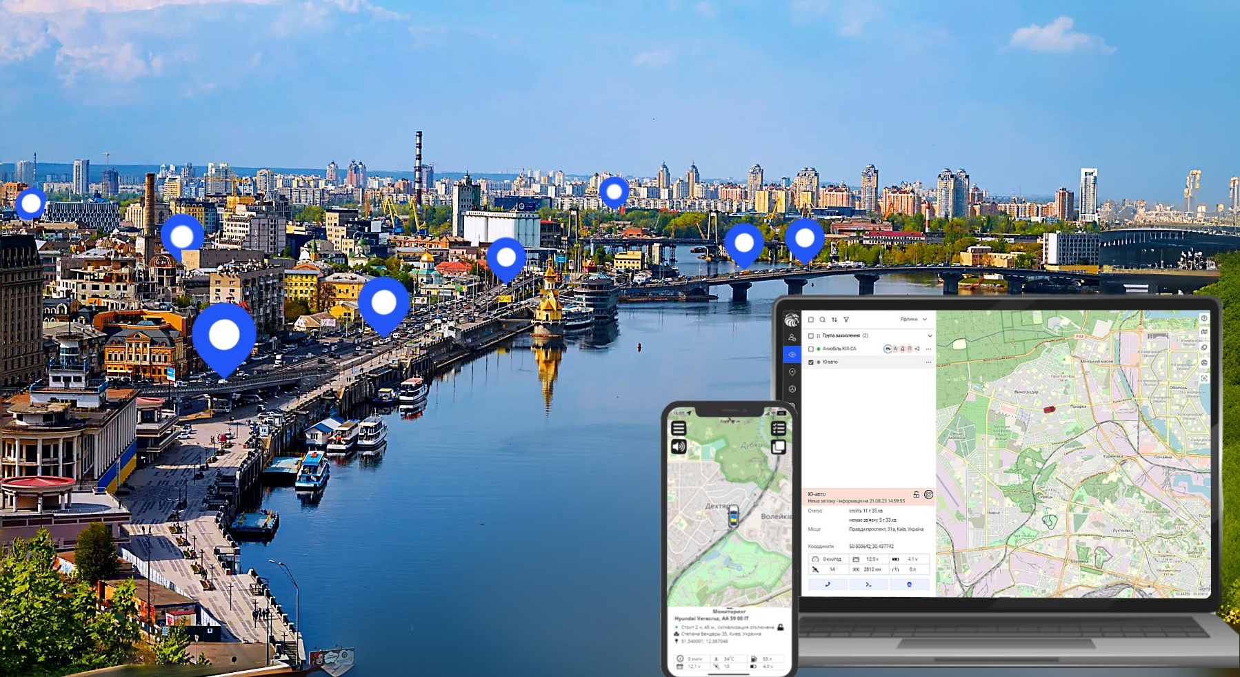
Online tracking

Online tracking of any object with display on the map
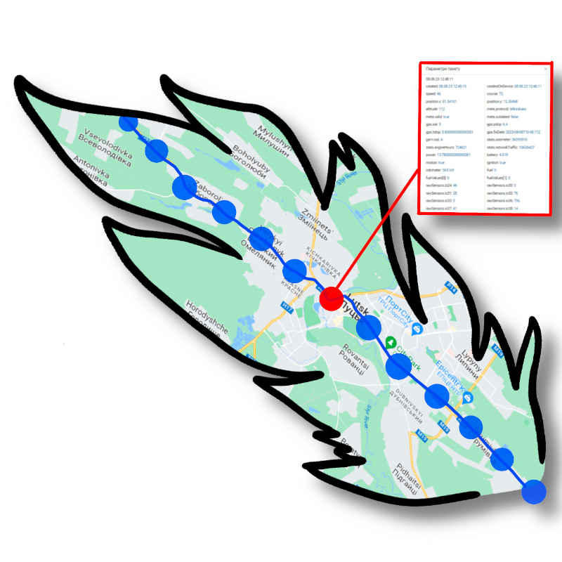
View telemetry
View telemetry from the object tracker for any period of time or online
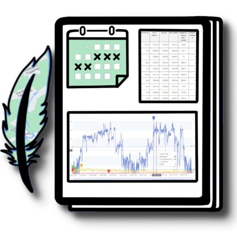
Preparation of reports and schedules
Preparation of reports and schedules for the specified period
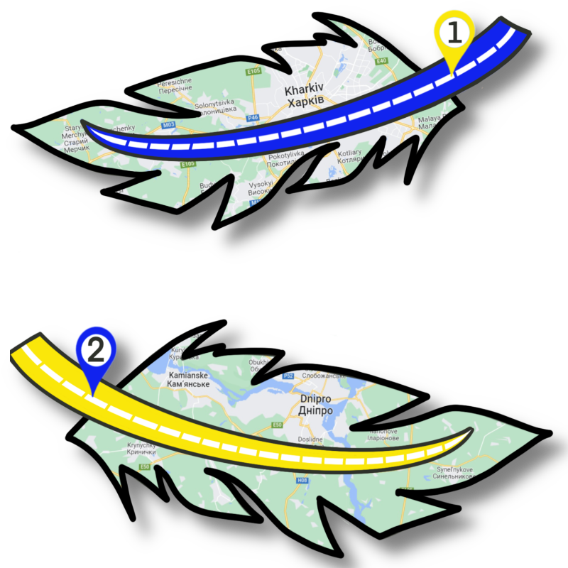
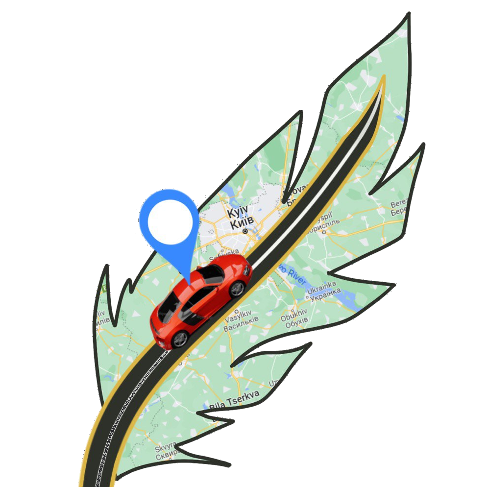
Route building
Plotting the routes traveled by the object for any period of time
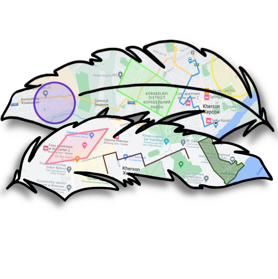
Building geofences
Building and controlling geofences

Generation of regular reports
Generation of regular reports for a specified period of time with automatic forwarding to a specified e-mail address
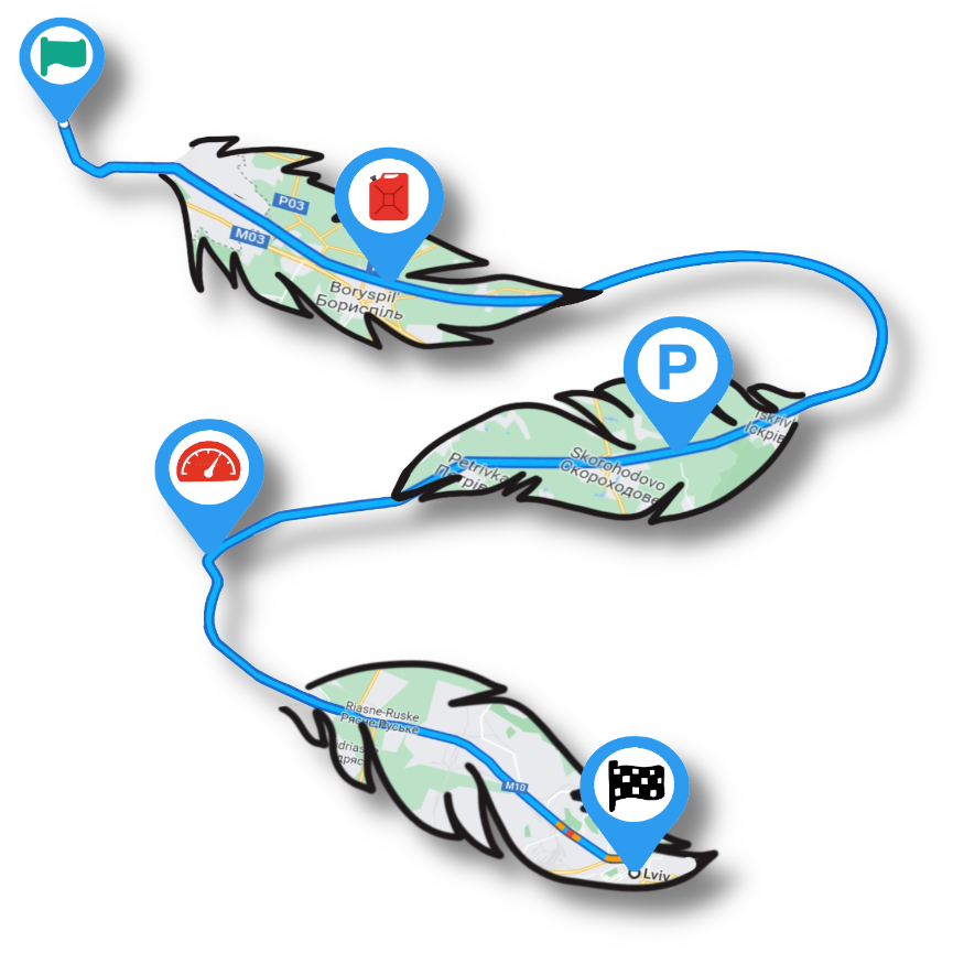
Displaying events on the track
Displays various events on the track: speeding, refueling/draining fuels, stops, idle time, geofence violations
Control of drivers’ work
Monitoring of drivers’ compliance with the work schedule, speed limits, and staying on a given route

Notification system
A system for notifying the user or operator of monitored facility events, as well as vehicle evacuation or accidents
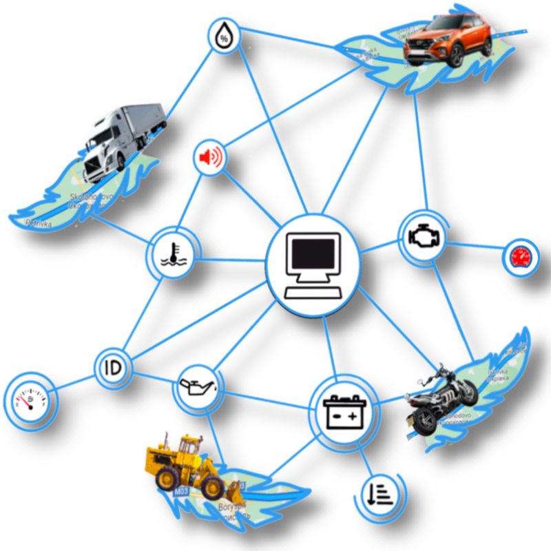
Online control
Online control of object parameters
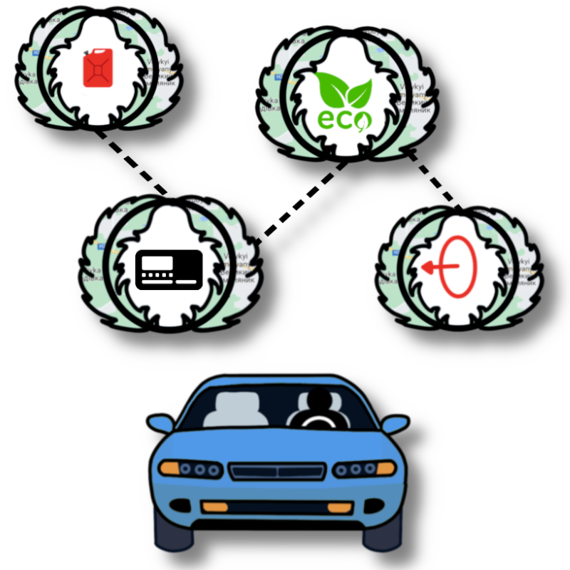
Control dates and sensor readings
Monitoring the completion of maintenance, inspection, insurance expiration, and reviewing all sensors.
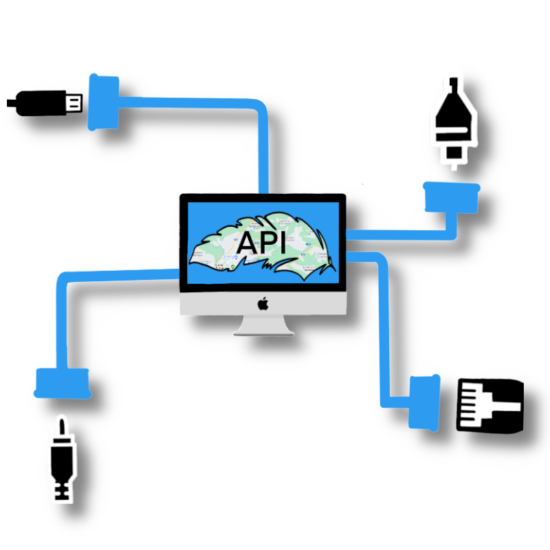
API for interfacing with other programs
Documented API for docking with other programs